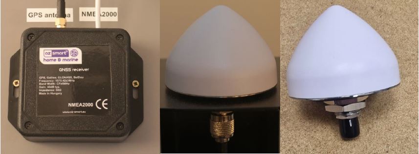
- Positioning using GPS, Galileo, Glonass BeiDou satellites, with 10 Hz sampling
- Wi-Fi connection, data is sent either to the az-smart marine local server or to the az-smart cloud via the MQTT gateway of the yacht's router, as well as to the NMEA2000 network in parallel.
- works even without a smart system, connected to a NMEA2000 network
The position data is always stored in the az- smart tracking cloud system. The position and speed of the ship can be continuously monitored. Uploading the position data can be time-based ( e.g. 10, 20,30, 60 sec) or distance-based ( e.g. 1 , 2.5, etc. meters) . average speed, maximum speed, and can be saved in KML (Google Earth ) format, on the basis of which a map of the traveled route can be created with the Google Earth program.
In the case of a local server, the module is also suitable for anchor and buoy guard functions. For this, the down and up control of the anchor windlass and the chain counter sensor must be connected to the digital inputs . In this way, the module can also calculate the length of the lowered anchor chain. At the end of the anchoring operation, it calculates the position of the anchor ( wessel heading data that you or the Sensor Module , or the digital compass on the ship's NMEA2000 network), draws a circle with the length of the anchor chain (corrected by the Pythagorean theorem with the depth of the sea). If the ship falls outside of this, it sends an alarm. In the case of the buoy guard, the length of the anchor chain is replaced by the sea depth +15% + the length of the used rope.


